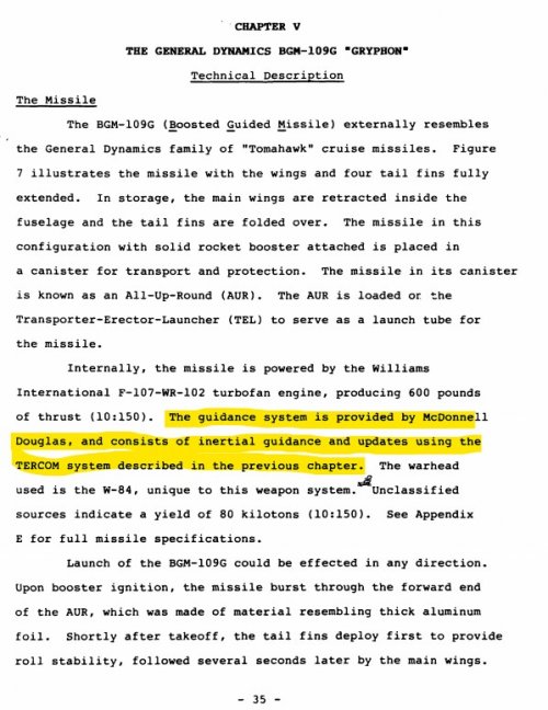
The GLCM had to confirm location over target which could use but did not strictly require TERCOM. Neither TERCOM nor DSMAC was absolutely required for that but could be by configuration. Only one system was absolutely required and it had thresholds of accuracy to match. But if you knew its not for a public discussion.
Okay, TERCOM and DSMAC for beginners. DSMAC is a terminal phase guidance system, it applies only in the last few miles of a cruise-missile's approach to target. TERCOM is a long range navigation system, its job is to get the cruise missile close enough for DSMAC to take over. TERCOM can work without DSMAC at reduced accuracy, DSMAC can't work without TERCOM or another method of delivering the missile into its DSMAC acquisition bucket. (Remember, cruise missiles are taking that picture from low altitude, they can't see very far and its only in a limited Field of View.
You can think of the two together as a bit like lob-tossing a PGM into a laser-guidance bucket. If it misses the bucket entirely, no amount of guidance technology is going to get it on target.
TERCOM relies on taking a strip of radar altitudes, then finding a matching strip in its radar map to tell the missile where it is and which way to steer to the target. DSMAC relies on taking a forward looking picture of terrain and buildings and doing a mathematical comparison to work out how to make that match with the image in its memory that marks the desired approach path and impact point. But for that to work it must be in the right general area, and looking in the right direction, and it gets there by relying on a long range navigation system, whether that be TERCOM, GPS, or INS.
If the long range navigation system fails en route, the missile never gets close enough for DSMAC to work. Either it fails to make a turn, makes it in the wrong place, or fails to allow for wind-drift. Or all of the above. But the end result is the same: the DSMAC system takes its image, and it's facing the wrong way, in the wrong place, and can't correlate the actual terrain with the stored picture.
Maybe you are purposely stating misinformation.
Or maybe I have a better understanding of the technology than you do.
You probably shouldn't say that with such conviction.
Have you considered applying that approach to your own posts?
The time period has to be considered.
It's the time period in which I began my career in defence software development. I've got probably a rather more intimate understanding of the technology of the time than you do.
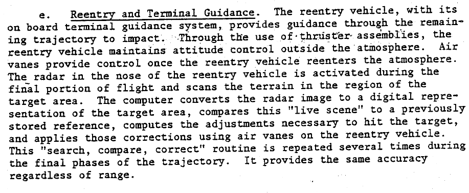
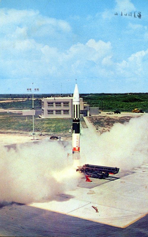
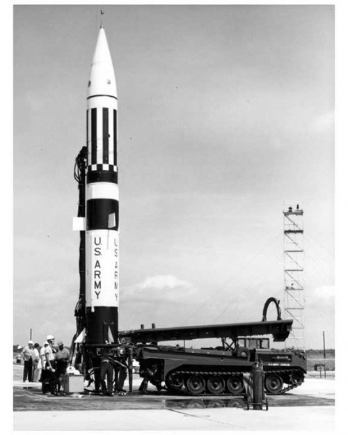
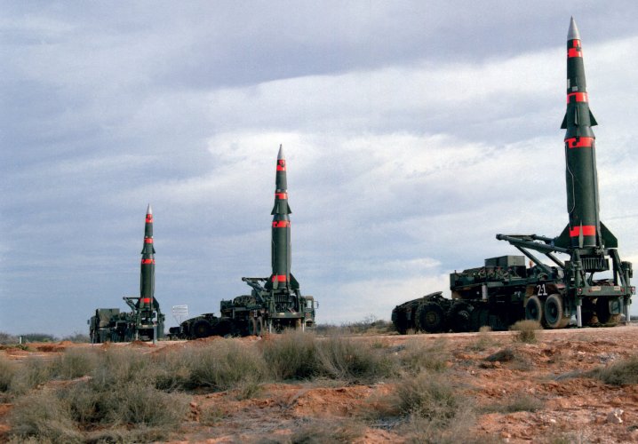
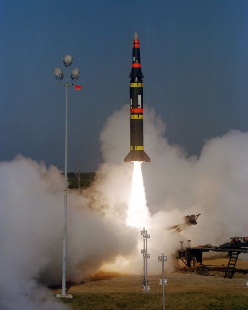
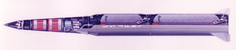
Pershhing IIs radar was not an AESA with high fidelity processing.
We're discussing the interrelation of TERCOM and DSMAC, Pershing II is irrelevant to the discussion.