14 years ago with the program completely opaque to the west. In a 2014 issue of LANL National Security Science an article about US/Russia/China’s nuclear enterprise had this nifty nugget.
—————————————
“Numbers of Weapons estimates are problematic. Historically, the 20,000
estimates have not always been accurate.
For example, the error in the estimated size of the Soviet nuclear stockpile during the Cold War was larger than the entire stockpile Russia is estimated to have today.
In 1993 the Russians revealed that the Soviet’s nuclear stockpile peaked in 1986 at 45,000 weapons. This number was 17,000 warheads above estimates from the U.S. intelligence.”
—————————————
Why I scoff at the constant “but China has only 300 warheads” as if we have a clue.
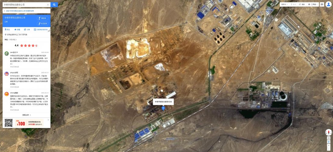
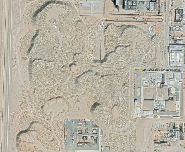
You may find it interesting to learn that China has been making a number of major expansions to their military nuclear reprocessing site over the course of the last 13 years, with the majority of the work occurring between 2019–2024 (although some major work on the first small part started back in 2013–2019). Most of these additions are
absurdly huge, substantially larger than any of the existing infrastructure.
They have also constructed a gargantuan (and constantly expanding) "civilian" nuclear reprocessing plant at a separate area semi-near the military plant (it's about 60 miles away from the military plant, and is located within the boundaries of the same restricted military area that houses the military nuclear reprocessing site).
While I believe that the "civilian" plant is probably truly intended to be used to process civilian SNF in the long term, I'm not 100% confident that they won't use it to process military SNF from weapons grade plutonium production reactors in the short to mid term.
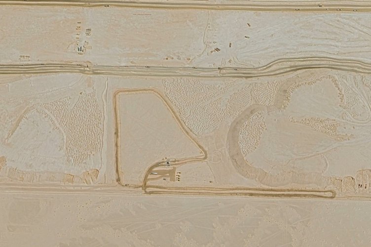
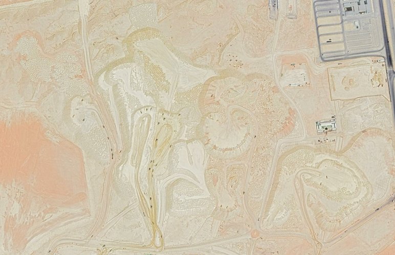
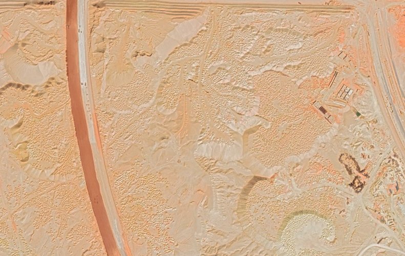
(Amusingly enough, they have been using old waste casks from the military reprocessing site as infill beneath both sites. There's literally mountains of waste casks buried under the foundations of each of these new buildings. They also have hilariously lax rad waste management, with waste casks literally sprinkled heavily everywhere all over the plant, including right next to active production buildings. There's a mountain of casks that keeps expanding at an alarming rate at one spot, which has horribly poor water containment around it. And there's surface level open uncovered liquid waste disposal ponds, which have been repeatedly and massively expanded over the last decade or two. Their approach to radwaste seems to be largely stuck in the worst of the 1950s era practices.)
Radwaste hijinks aside, the ridiculously huge expansion at the military site and the ridiculously huge build-out at the "civilian" site seems to strongly suggest that China's capacity to produce weapons grade plutonium has massively expanded in recent years. Interestingly there is very little discussion of this online. The civilian plant has seen a tiny bit of discussion, but the military plant has seen virtually none whatsoever.
You can check these out for yourself on Google Earth by visiting the following coordinates:
Military plant: 40°13'36.42"N 97°22'14.66"E
Civilian plant: 40°20'58.80"N 98°29'39.50"E
Note that the coordinates I provided are arbitrarily chosen points. Neither coordinate resolves directly to any structure, rather, both resolve to locations that are very close to existing infrastructure. You will need to pan around in order to find the actual structures and features of interest. For the civilian site, this is easy, as nearly all interesting points are located close together. For the military site, this is less straightforwards, as this site is extremely spread out. I recommend zooming out on both sites, but especially for the military site, as there are tons of features that are widely separated from other collections of areas of interest, and you can easily miss interesting POIs if you don't dig around.
Make sure to use the historical imagery viewer tool (to view older satellite imagery captures) in order to see the progression of construction/changes over time at these sites, and be sure to zoom and pan around both areas, as there are many structures and areas of interest at both sites that are located fairly far away from the coordinates I've provided.
Edit: As per my latest post, I agree with TwoTribes that I likely misinterpreted the satellite imagery for the infill characterization.