Advanced satellites

bearnard97

ACCESS: Confidential
Joined
5 January 2021
Messages
109
Reaction score
105
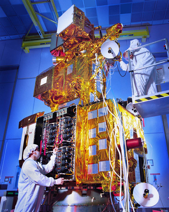
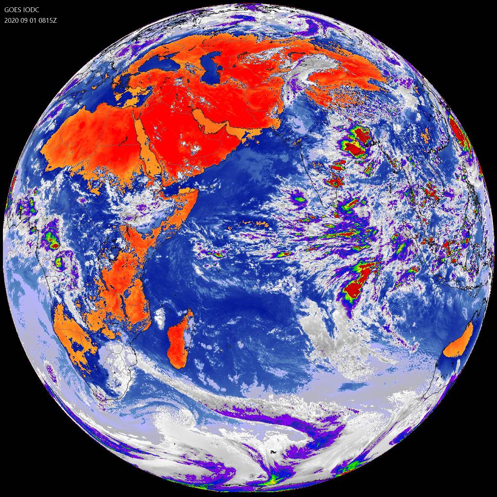
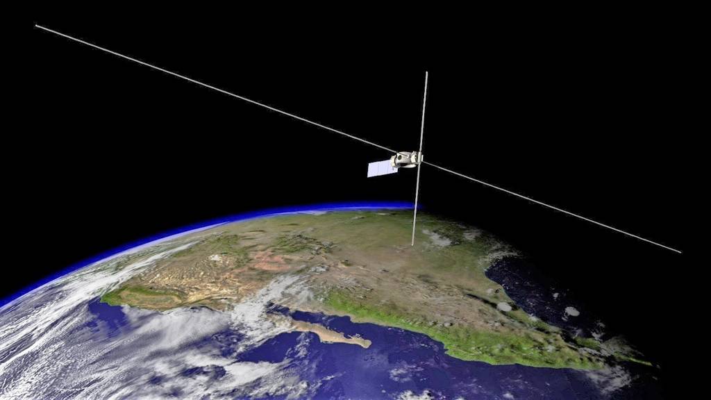
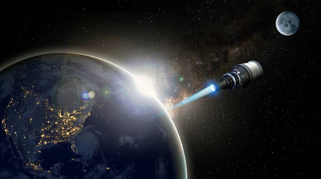
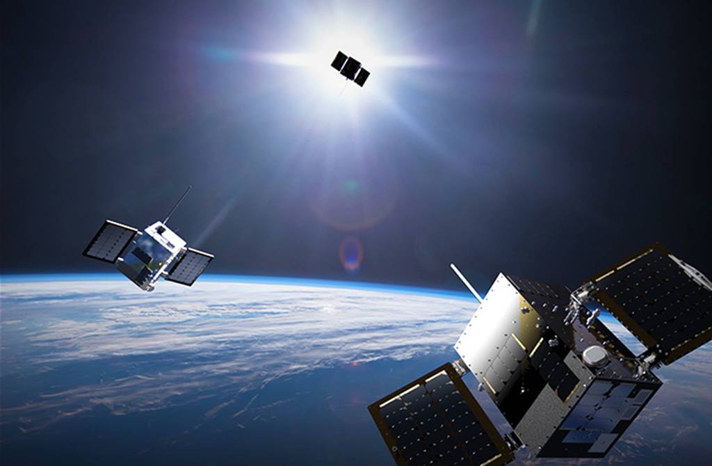
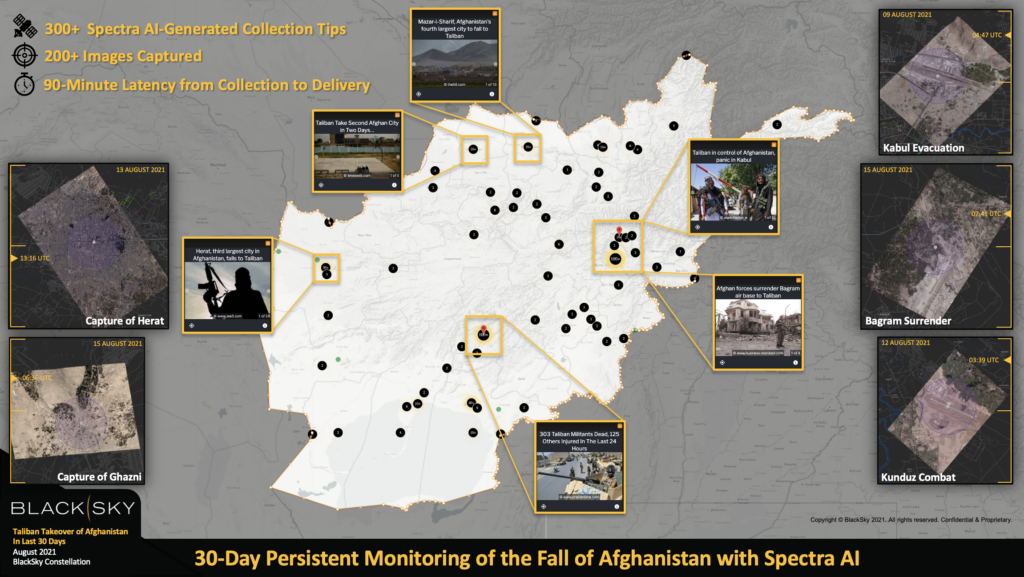
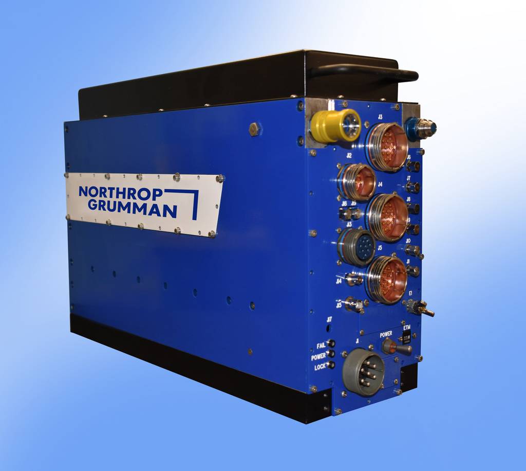
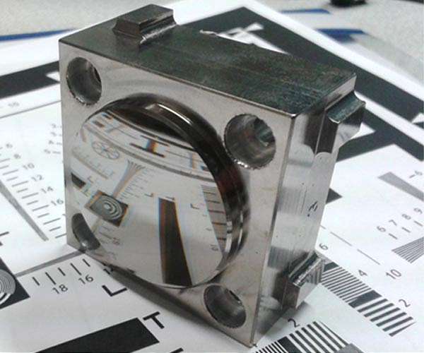
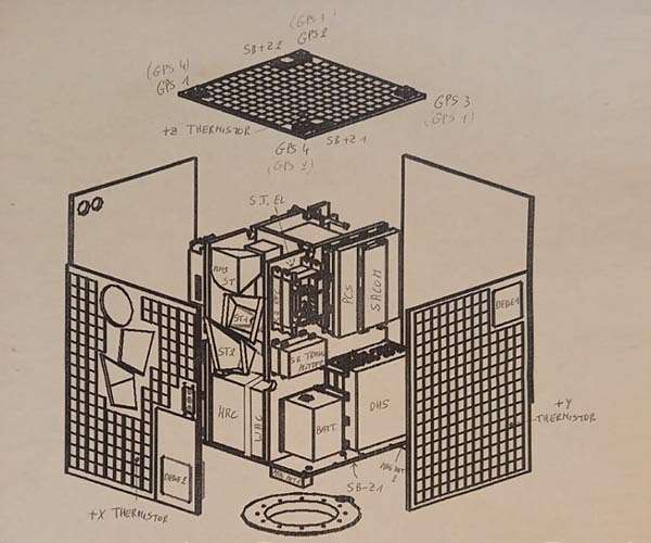
Have you ever heard about satellites that observe collecting agricultural data and tracking environmental changes? Personally, I`ve recently heard about such a kind of satellites.
 
"remote sensing" - that's how NASA calls that business since the launch of Landsat 1 in 1972.
 
Certain satellites are called remote sensing satellites but actually have other military purposes.
 
Certain satellites are called remote sensing satellites but actually have other military purposes.
The satellites I`ve mentioned before don`t have military purposes, they are made more for civil purposes, but still, it`s possible to use them in some military missions, I guess.
 
The NRO (military spysat agency, to simplify a lot) and NASA had an agreement right from 1963.
Basically they told civilians
"Best possible ground resolution for you = 1 milliradiant from 200 miles high = 60 ft = 18 meters. Don't try to get better pictures."
For the sake of comparison the NRO all time ground resolution record, established in the 70's by KH-8s, was...2.3 inch: 6 cm !

They did not wanted NASA to mess with their business for two reasons
- The Soviets would have been very pissed-off by publication of unclassified, high-res resolution of their military bases (it was the Cold War, after all)
- it would have attracted public opinion attention on the NRO own spysats, the Key Holes (such a blatantly cynical name, really !)

So Landsat was expressedly forbidden to get better ground resolution than 18 m. It was more like 30 m.

That situation didn't really changed until the mid-80's.

The very first breach (somewhat) was the French Spot 1 in 1986, with 10-15 m resolution. Launched in February 1986, just in time for Chernobyl disaster... Landsat, Spot 1 and a classified NRO KH-11 all got pictures of the eviscerated nuclear reactor. Of course the level of details was not the same !
 
I checked this company and can confirm — the imagers that Dragonfly Aerospace produces are perfect for microsats and CubeSats tracking the environment. And even the fact that this company is very young didn't prevent it from being successful. I'm glad that people aren't afraid of the competition from the well-known and world-famous manufacturers.
There is also a private company from Scotland that manufactures different types of microsats. Especially I like those that observe the environment and some changes in it to help scientists to fight against some important issues like global warming.
 
Last edited:
 
 
I wonder how good the resolution LUVIOR would have turned Earthwards...


Similar threads

Back
Top Bottom